GEOG 1HA3 Lecture 4: GEOG 1HA3- Week 2 Lecture 4

23 Jan 2019
School
Department
Course
Professor

Document Summary
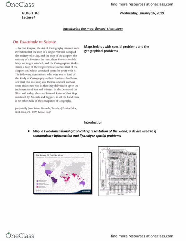
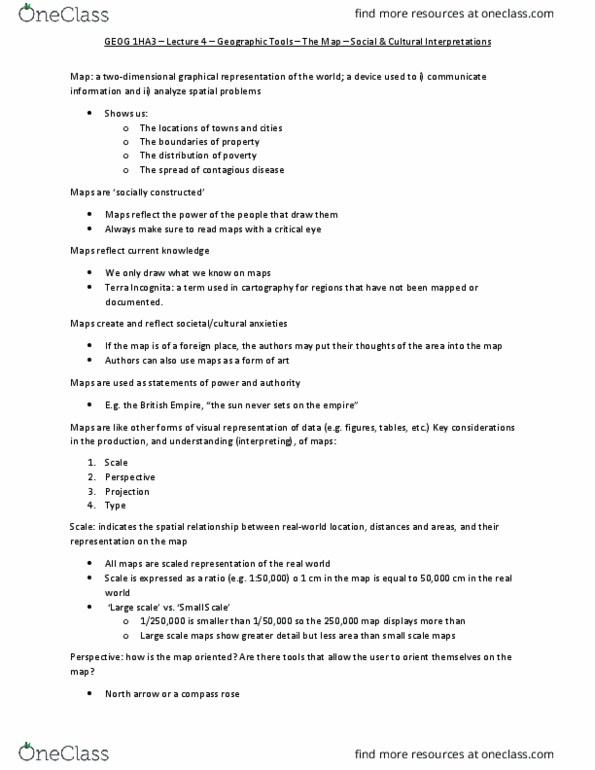
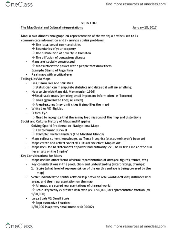
Maps help us with special problems and the geographical problems. Map: a two-dimensional graphical representation of the world; a device used to i) Introduction communicate information and ii) analyze spatial problems. Maps are socially constructed": maps reflect the power of the people that draw them, read maps with a critical eye. Maps represent all kinds of dimensions of our identity and how we see the world. It is being used as a political power point. We have to use these documents as a political movement. Social & cultural history of maps & mapping. Solving spatial problems: e. g. , pictographs (maps don"t always look the way you think such as the picture. Solving spatial problems: e. g. , navigational maps: key to human survival, pacific islanders (the marshall islands) Information of north america has lacked because they did not know that is why it looks like it is incomplete. Maps create and reflect societal/cultural anxieties: maps as art.