PLAN281 Lecture Notes - Lecture 10: Spatial Analysis, Centroid, Central Tendency

27 May 2016
School
Department
Course
Professor
Document Summary
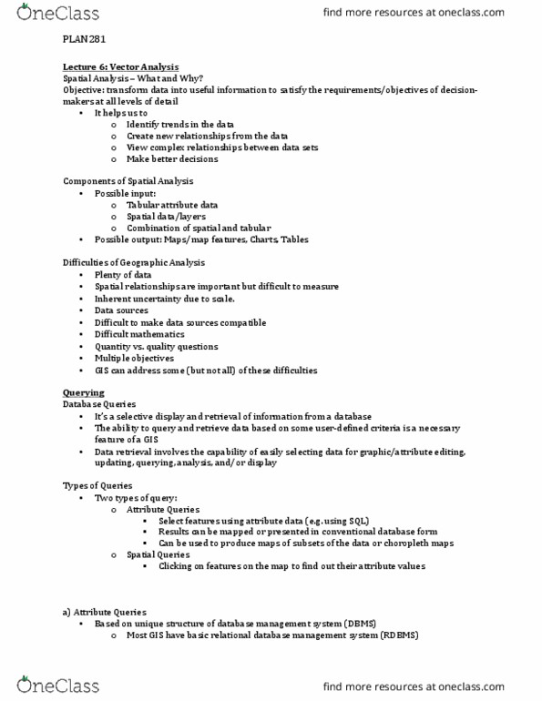
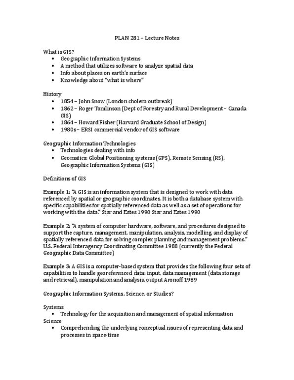
Spatial analysis functions distinguishes a gis from other information systems. It helps us to: identify trends in the data, create new relationships from the data, view complex relationships between data sets, make better decisions. Analysis of massive data sets in search for patterns, anomalies, and trends: spatial analysis applied on a large scale, must be semi-automated because of data volumes, widely used in practice. Examples of applications: business detection of unusual patterns in credit card use, epidemiology detection of disease outbreak (i. e. influenza virus, climate change data patterns lead to discovering ozone hole. Attempt to summarize useful properties of data sets in one or two statistics. The mean or average is widely used to summarize data: measurement of central tendency. How to find a spatial mean : the spatial (two-dimensional) equivalent of the mean would be a centre, several ways of defining centers.