Geography 2011A/B Lecture 1: Intro and Physical Geography

25 Apr 2017
School
Department
Course
Professor

Document Summary
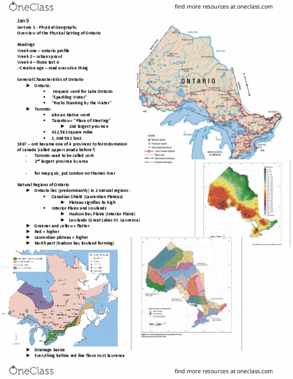
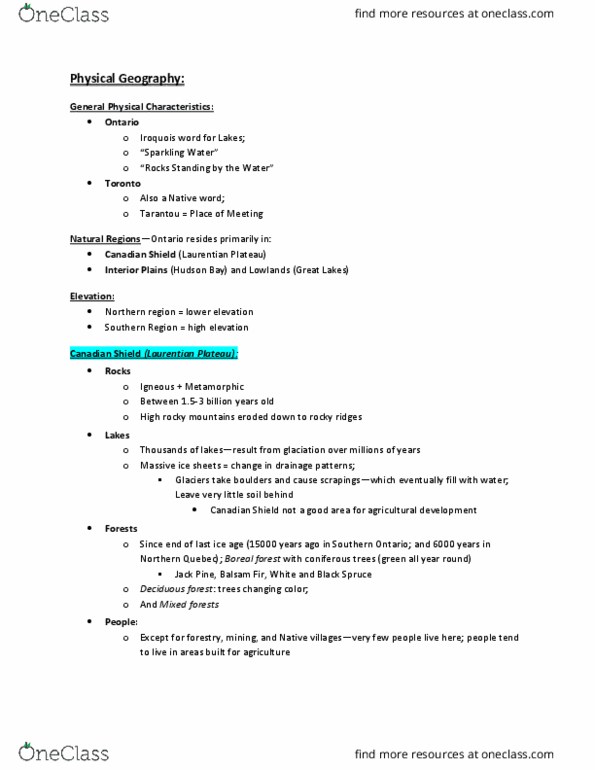
Toronto: iroquois word for lake ontario, (cid:498)sparkling water(cid:499, (cid:498)rocks standing by the water(cid:499, tarantou = (cid:498)place of meeting(cid:499, also an native word, 412,582 square miles, 1, 068 582 km2, about 10% of overall land. Definition of northern ontario changes as transportation. Ontario lies (predominantly) in 2 natural regions: canadian shield (laurentian plateau) higher land, interior plains and lowlands, hudson bay plains (interior plains, lowlands (great lakes-st. lawrence) london located here. Most of hudson bay lowlands are in on. Frontenac access where lowlands stop near kingston where. Water going into (udson"s bay turns salty and unusable. Water north of red line flow north, causing drought in south and. Some settlements, but not spread against landscape. High mountains eroded down to rocky ridges. Water erodes other stuff first, then rocks. Thousands of lakes -- result of glaciation over million years. Massive ice sheets scoured and gouged the earth = changing drainage patterns.