GG102 Lecture Notes - Lecture 5: Wayfinding, Cartogram, Robinson Projection


Document Summary
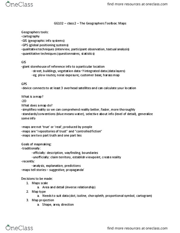
What types of maps suits what types of purposes. Can show superiority or inferiority/unimportance: goals of mapmaking. Trying to analyze situations, find out more about them. Decisions to be made: map scale. Area and detail - inverse relationship between the area and detail. What kind of data do we want to show. Map type needs to shit the type of data ex. Mercator protection vastly exaggerates the importance of northern countries, downplays importance of southern countries o. Gall-peters projection, world looks radically different o. Sacrifice a bit of everything - robinson projection o. Types of maps: dot maps, isoline maps, choropleth map, proportional symbol map, cartogram. Need to calibrate size of dots and what the dots represent. Lines connect points of equal value continuous phenomena (temperature, rain, Usually used to map physical geography (elevation, weather etc ) o e. g topographic maps, Choropleth map: derived values (e. g percentages, density, frequency, greek for filling the area.