GEOG 10160 Lecture Notes - Lecture 1: Bathymetry, Contour Line, Cartogram

5 Sep 2016
School
Department
Course
Professor
Document Summary
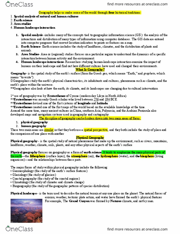
Geography: study of spatial phenomena on the surface of the earth e. g. meteorologist, Human geography: the process and patterns that shape human interaction with the built and natural environment. Physical geography: the process and patterns of the natural environment. Weather (short term) and climate (long term) Environment geography: where the human and physical elements of geography overlap. Maps: maps can show a wide range of things in a variety of different ways. Choropleth maps: use color to display information. Cartogram: the space or area of the maps is distorted in order to covey information. Dot density: map type that uses a dot or x symbol to show the presence of a feature or phenomenon. Flow line: show the movement of objects from one area to other. Portional symbo: - scale the size of the symbol, proportionally to the data value found at that location. Easy to grasp, the bigger the symbol, the more.