GEOL 306 Lecture 4: Class 4_ January 18

7 Feb 2018
School
Department
Course
Professor
Document Summary
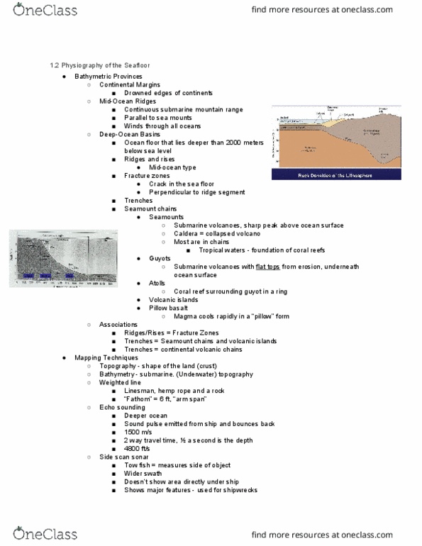
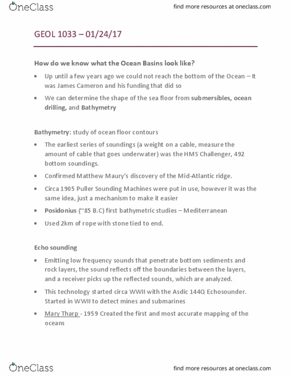
Oceans over more than 70% of earth"s surface. Bathymetry: measurements of the depths of oceans, seas, or other large bodies of water. Initially done by depth sounding using weighted rope: single point, single depth, inaccurate. First printed bathymetric map: some data points and lot of interpretation. Most of the shape of the ocean floor was unknown before wwii. Need to get detailed bathymetry for submarines in wwi and wwii. Invention of sonar (sound navigation and ranging) Sonar: technique that uses sound propagation to detect distant objects. Velocity of sound in air: 340 m/s (768 mph) in 20c. Velocity of sound in seawater: 1,500 m/s. Continental shelf: underwater land mass extending from a continent. Abyssal plains: broad flat regions 4-5 km depth below sea level. Mid-ocean ridges: elongate submarine mountain ranges with peaks at. Deep-ocean trenches: ocean floor is bigger than 5km, border volcanic arcs. Seamount chains: numerous volcanic islands poke up from ocean floor.