GEOG372 Lecture Notes - Lecture 6: Data Validation, Linear Referencing, Triangulated Irregular Network

31 Oct 2016
School
Department
Course
Professor
Document Summary
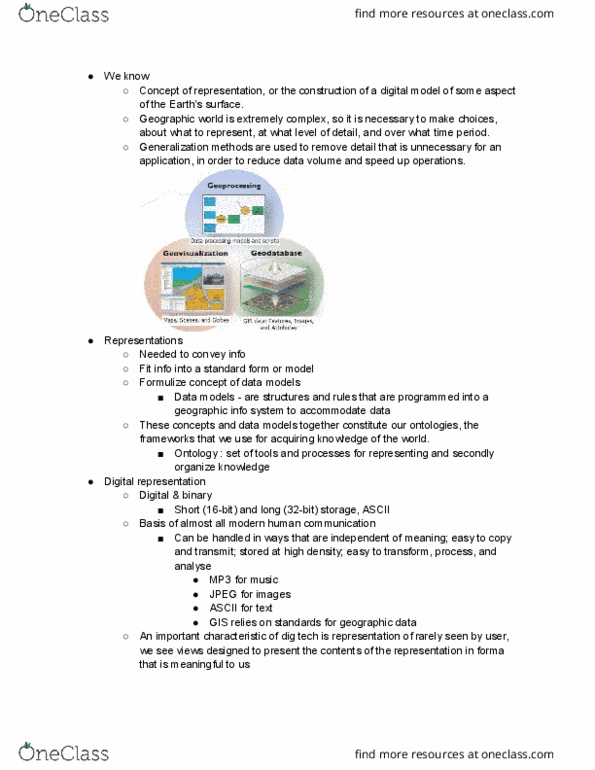
Model : describe practical and database issues. Data model: set of constructs for describing and representing objects and processes in the digital environment of the computer. No single type of gis data model is best for all circumstances. 4 levels of abstraction (increasing in abstraction, human oriented to computer oriented) Major impact on type of analytical operations that can be performed. All gis software systems include a core data model (fixed or easily extended) that is built on one or more of the gis models. All types of geographic data models are based in some way on the conceptual discrete object/field and logical vector/raster geographic data models. Spatial analysis and modeling, especially in environmental and natural resources applications. Many operations on geometric features in cartography, socioeconomic, and resource analysis and modeling. Many operations on all types of entities (raster/vector/tin, etc. ) in all types of applications. Class or layer- collection of entities of the same geometric type (points, lines, or polygons)