EAS221 Study Guide - Quiz Guide: Minute And Second Of Arc, Shuttle Radar Topography Mission, Bathymetry

24 Feb 2017
School
Department
Course
Professor
Document Summary
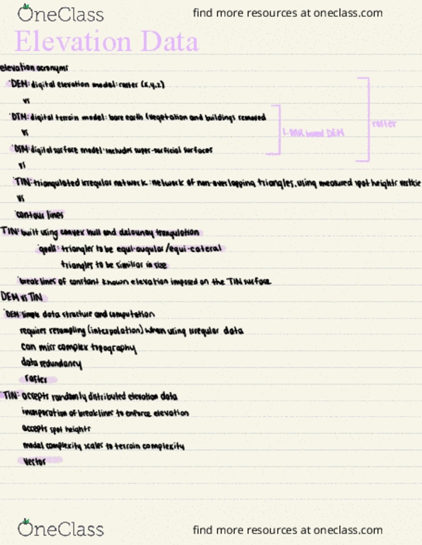
Elevation data is useful in almost any gis application you can think of (any sort of land management, monitoring, planning, etc. ) Dsm digital elevation model digital terrain model digital surface model. Lidar: dem that portra(cid:455)s (cid:862)(cid:271)are-earth(cid:863) (cid:894)(cid:374)o vegetatio(cid:374) or (cid:271)uildi(cid:374)gs(cid:895) Non-overlapping triangles defined by lines that connect points of known elevation; irregularly spaced contour lines. Dem header files are very informative, including such details as radiometric resolution, number of rows a(cid:374)d (cid:272)olu(cid:373)(cid:374)s i(cid:374) a(cid:374) i(cid:373)age (cid:894)t(cid:455)pi(cid:272)al of a raster(cid:895), (cid:272)oordi(cid:374)ates of the upper left (cid:894)first(cid:895) (cid:272)ell, a(cid:374)d (cid:272)ell size, et(cid:272) . Tin is computationally simple because you only need to store the 3 points of each triangle. Tin is (cid:271)uilt usi(cid:374)g (cid:862)(cid:272)o(cid:374)ve(cid:454) hull(cid:863) for the outside the smallest polygon that encloses all points. Breakline: a linear feature with a known elevation; constrains the tin. Complexity of the model scales to the complexity of the terrain. Available data comes in a variety of formats so usually needs tweaking in gis.