GEOG 2480 Study Guide - Midterm Guide: Computer Hardware, Spatial Analysis, Map Projection

17 May 2014
School
Department
Course
Professor


Document Summary
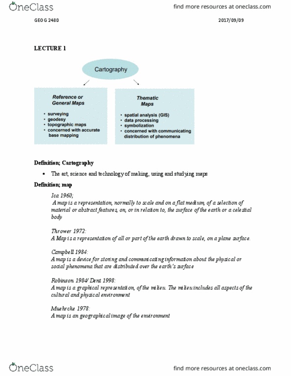
Cartography the art, science and technology of making, using and studying maps. Reference or general maps used for: surveying, geodesy, topographic maps, and concerned with accurate base mapping. Thematic maps used for: spatial analysis (gis), data processing, symbolization, and concerned with communicating distribution of phenomena. Cartographic communication model: (slide 3 set one) Scientific visualization model: (slide 3 set one) Essential mapping operations: surface transformation (projections and scales, acquisition of spatial and attribute data, data processing/gis analysis, data symbolization, visual organization/map design, preparing the map, using the map. Raster data digital photograph with individual cells filled with colour (numeric codes assigned colours); better for continuous data; eg. whitebox: every cell gets filled in with some code in grid. To add more detail in vector model, add more points. To add more detail in raster model, decrease cell size. Vector thematic data can get stored in a spread sheet. Raster thematic data is stored in other maps.