GEOG 1HA3 Lecture Notes - Lecture 4: Compass Rose, Spatial Analysis, Contour Line

4 Feb 2017
School
Department
Course
Professor
Document Summary
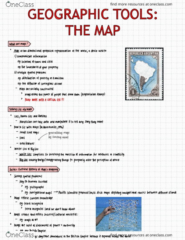
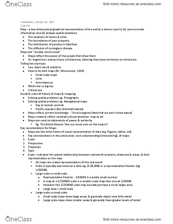
The social and cultural history of maps and mapping. Maps : a two-dimensional graphical representation of the world; a device used to i) communicate information and ii) analyze spatial problems. E. g. the boundaries of your piece of property. Maps reflect the power of the people that draw them. You must read maps with the critical eye, it depicts what the map designer decides. Can manipulate a maps to tell a lie. How to lie with maps (monmonier, 1996) I won"t include toronto on my maps because i don"t think it is that significant. Generalize the map (omit some things because it will be too crowded or complicated) White lies are not intended to be malicious. Argentina lied about their map & hitler lied about his maps. Social and cultural history of maps and mapping. Solving spatial problems: e. g. pictographs (cave walls) E. g. navigational maps (pacific islanders - the marshall islands) To show where things like food are.