GEOG 286 Lecture Notes - Lecture 6: Flat File Database, Relational Database, Sql

Document Summary
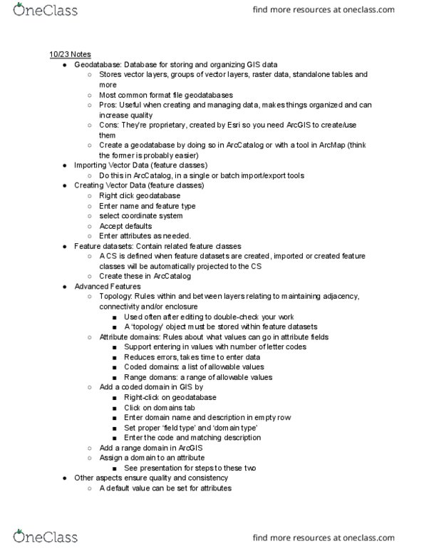
Next section all about creating new gis data layers. How to work with, design, tables for collecting data, how to perform analyses of tables data. Name: title, field: attribute, column, record: row. Attribute table: stores attributes of spatial features, associated with vector data. Fid=feature id, has special fields for spatial info. Standalone table: stores any tabular data, not associated with spatial data oid=object. Flat file database: stores data in a single table, typically used when use of table is known beforehand, is simple and robust but inefficient for search and query. Relational database: stores data in multiple tables, table relationships are defined as needed, very flexible, ideal when database use is not know beforehand, common in gis applications. Joins: linking tables, combining two tables into one, a source table is joined to the main destination table, tables must share a field (key) with common values. Temporary joins: tables are not permanently altered, can be removed when no longer needed.