DESIGN 2750 Lecture Notes - Lecture 10: Musical Notation, Crimean War, World Map

24 Feb 2018
School
Department
Course
Professor
Document Summary
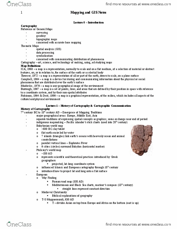
The rst maps date to the rst cities. It"s a visual/graphical representation of some physical part of the world. We have an example of a map from 700 bce. Abstract graphical map made by europeans (no americas) tries to draw your eye to the holy lands so it doesn"t have our same sense of north/south/east/west. World map made in 1509 becomes the standard one. The european side is full of information, but the american side has little to no information. When europe is placed at the center, places like africa get especially distorted. There"s a map of a watering hole made by native people in australia and it looks really strange. There"s a stick map of oceans around certain islands. Maps can take on all kinds of forms/characteristics. In 1090, there was a map made that tried to visualize the cosmos (earth, air, water, re). This is much more conceptual than a typical map.