MEA 130 Chapter Notes - Chapter 5: Altostratus Cloud, Altocumulus Cloud, Cirrocumulus Cloud

18 Jan 2020
School
Department
Course
Professor

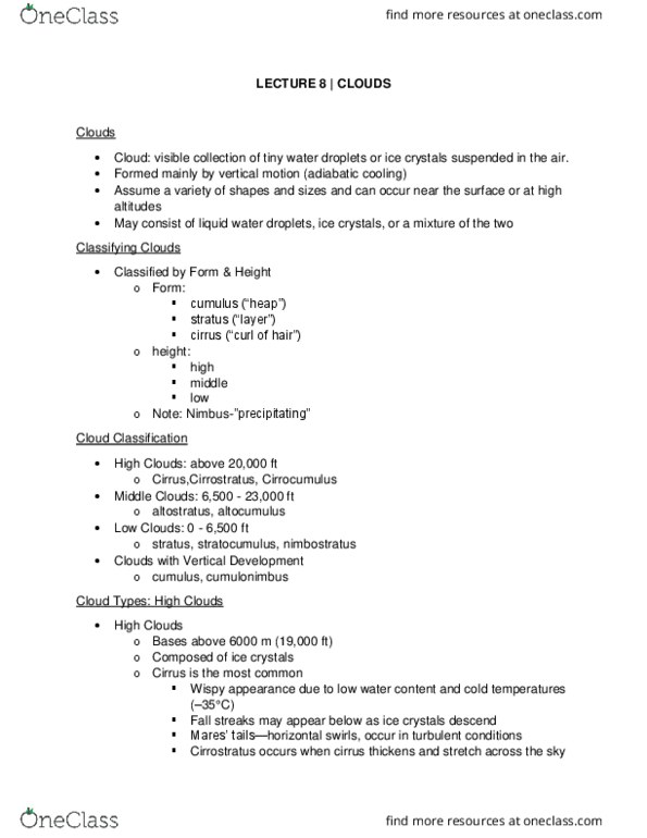
Chapter 5: Forms of Condensation and Precipitation
Section 2 – Cloud Classification
• Classification developed around 1800 by Luke Howard on the basis of:
• Cloud Form:
o cirrus form (Latin for curl)
o cumulus form (Latin for heap)
o stratus form (Latin for layer)
o nimbus form (Latin for rain)
• High Clouds (> 6 km)
o Basic Characteristics
▪ thin (tens of meters thick)
▪ comprised solely of ice crystals
▪ non-precipitating
▪ form in slowly rising
o Cirrus (Ci) (Figure 5.2a)
▪ most common high cloud
▪ called “Mare’s Tails”
o Cirrocumulus (Cc) (Figure 5.3b)
▪ form in a more turbulent environment – least common
▪ “Mackerel Sky”
o Cirrostratus (Cs) (Figure 5.3c)
▪ often produce Halo around sun or moon, which is due to the
refraction of light by ice crystals
▪ often precedes precipitation
• Middle Clouds (2-6 km)
o basic characteristics
▪ thicker (hundreds of meters thick)
▪ comprised mostly of liq. droplets w/some ice crystals
▪ also, non-precipitating
o Altocumulus (Ac) (Figure 5.3a)
▪ often occur in large patches
▪ bases are darker
o Altostratus (As) (Figure 5.3b)
▪ no definite configuration (formless)
▪ sun/moon barely visible
• Low Clouds (< 2 km)