GEOG 2OC3 Lecture Notes - Lecture 9: Nordicity, Hydroelectricity, Davis Inlet

26 May 2018
School
Department
Course
Professor

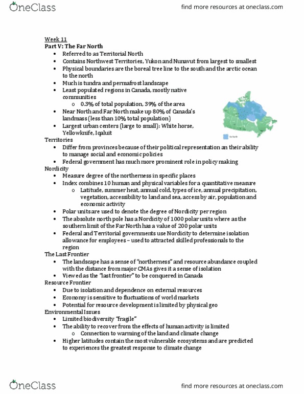
The Far North
Nordicity
• Measure the degree of the orthess i speifi plaes
• This index combines 10 human and physical variables for a quantitative measure of northness
• Polar units are used to denote the degree of nodicity in a region
• Absolute north pole has a nordicity value of 1000 polar units, southern limit of the far north
(around the Boreal tree line) has a value of 200 polar units
1. Latitude
2. Summer heat
3. Annual cold
4. Types of ice
5. Annual precipitation
6. Natural vegetation
7. Accessibility by land or sea
8. Accessibility by air
9. Population
10. Economic activity
Used to determine isolation allowances for employees, which are necessary to attract skilled
professionals and workers to the region
The last frontier: Distance from major CMAs gives it a sense of isolation
Indigenous Population
o NWT-22%,
o Yukon- 51%
o Nunavut-85%
o Total-52.4%
• North contains 0.% of the outrs total populatio ,/ . illio
• .% of Caadas GDP
• % of Caadas area
• Far orth ad ear orth otai % of Caadas total lad ass, less tha % of aadas
total population
Largest urban centers in the territorial north
• Whitehorse- 26,888
• Yellowknife- 19, 231
• Iqualuit- 6,254
• Nunavut- 41, 462- 1%
• Yukon- 33,897- 1%
• Nunavut- 31,906- 1%
find more resources at oneclass.com
find more resources at oneclass.com

Resource Frontier
• Geographical isolation from world markets, and resource development that is dependent on
external demand only
• Economies of resource frontiers such as the territorial north are often sensitive to fluctuations in
external markets
• The potential for resource development in the north is often limited by physical geography as
well
Mapping challenges: there are few indicators of public or private roads, coupled with very steep street
gradients, roads being mapped in the winter will no longer exist in the summer and vice versa
Environmental Issues
• Limited biodiversity- fragile- its ability to recover from the effects of human activity is quite
limited
• Warming of the land and water associated with global warming
Climate Change
• Higher latitude regions contain the most vulnerable ecosystems and are predicted to experience
the greatest response by climate change
• Warming of 5-8 degrees in high latitudes by the end of the century- 2007 report
• Albedo: measured index of the reflectivity if a surface
Permafrost
• Soil zone that has remained frozen for two or more years
• Makes up all of the subsurface in the far north
• / of aadas lad ass
• Thawing permafrost releases greenhouse gases
• Less snow (white is more reflective), less albedo, rising temps
Fragile Ecosystem
• Low species diversity, slow vegetation recovery and population instability relative to other
ecosystems
Ice reduction
• 23% reduction over the past 20 years
Global warming
find more resources at oneclass.com
find more resources at oneclass.com
Document Summary
Used to determine isolation allowances for employees, which are necessary to attract skilled professionals and workers to the region. The last frontier: distance from major cmas gives it a sense of isolation. Iqualuit- 6,254: whitehorse- 26,888, yellowknife- 19, 231, nunavut- 41, 462- 1, yukon- 33,897- 1, nunavut- 31,906- 1% Mapping challenges: there are few indicators of public or private roads, coupled with very steep street gradients, roads being mapped in the winter will no longer exist in the summer and vice versa. Limited biodiversity- (cid:858)fragile(cid:859)- its ability to recover from the effects of human activity is quite limited: warming of the land and water associated with global warming. Permafrost: soil zone that has remained frozen for two or more years, makes up all of the subsurface in the far north, (cid:1006)/(cid:1007) of (cid:272)a(cid:374)ada(cid:859)s la(cid:374)d (cid:373)ass, thawing permafrost releases greenhouse gases. Less snow (white is more reflective), less albedo, rising temps.