REM 300 Lecture Notes - Lecture 2: Uptodate, Land Registration, Geographic Information System

15 Sep 2016
School
Department
Course
Professor
Document Summary
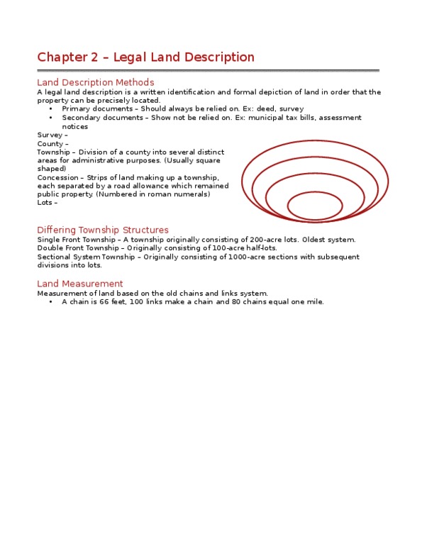
Legal land description is a written identification and formal depiction of land in order that the property can be precisely located. Primary documents include: legal land description, deed and survey. Secondary documents include: an assessment notices and municipal tax bills. Land is described for legal purposes to ensure that one land is not mistake for another. Difference between land description and legal description often over lap and is seen as a synonymous for the purpose of real estate discussion. Basis for land description lies in the original survey. Governor simcoe divided ontario into counties has he hired surveyors to mark out the actual boundaries. County boundaries often followed a river or lake but most of the time it was a straight through the bush. The counties were then divided into smaller parcels called townships. Townships were usually square but some weren"t due to irregular lines (natural boundaries).