REN R201 Lecture Notes - Lecture 4: Data Structure, Generic Point, Remote Sensing

14 Sep 2016
School
Department
Course
Professor
Document Summary
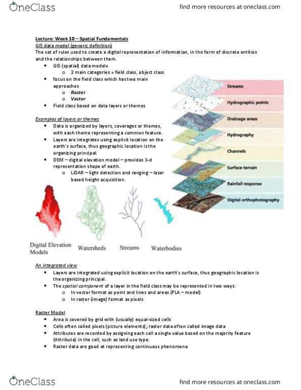
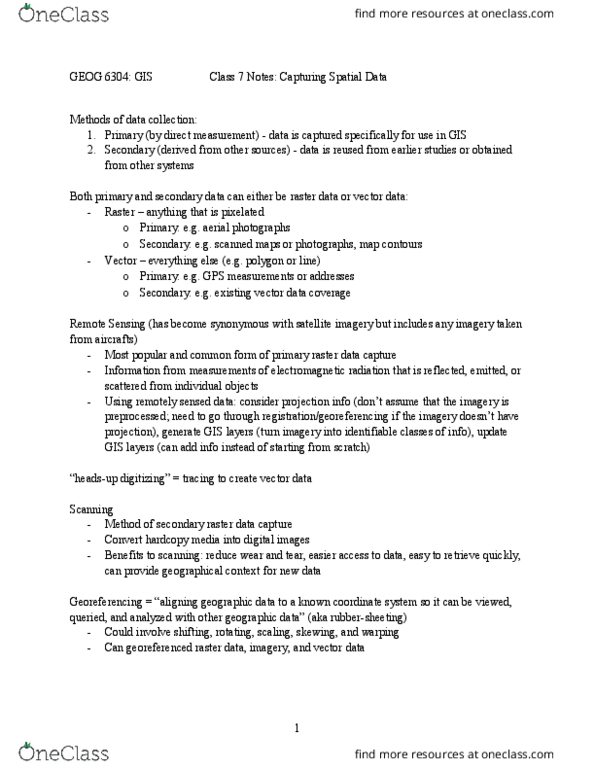
Form the basic foundation of data construction and function. Raster and vector formats are a way of defining spatial data in the computer. Topology is a special characteristic of spatial data that establishes powerful relationships among features. It is a chart that can be held. Coverage: the digital form or version of a map; the map in the computer. Usually, gis coverages have a single, major theme, such as landuse or vegetation. They are normally not general reference (multiple themes and different types of data), as many maps are. Data structure: the form of the data in the computer. It is the format (type of construction) of data the gis program understands and uses; the way gis data are built, stored, and displayed. Maps coverages through digitizing, trace the map electronically and change it. Data temporarily stored, waiting to be entered into the gis. Stored in a dig (short for digital ) file.