GEOG 1HA3 Lecture Notes - Lecture 4: Google Maps, Information System, Compass Rose

16 Sep 2016
School
Department
Course
Professor
Document Summary
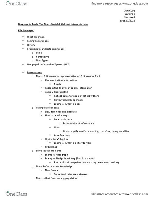
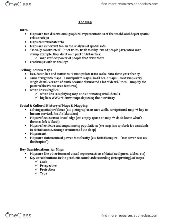
Social & culture history of maps & mapping. Maps are two-dimensional graphical representations of the world, and depict spatial relationships. Maps communicate information: borders of a country, boundaries of property line, location, etc. Maps are an important tool in the analysis of spatial information. Maps are socially constructed": truth" told by individual perspectives. Argentina stamp territorial claim of antarctica": constructed by individuals, companies, organizations for a particular purpose, to represent something, to depict some sort of information, choose to exclude and include certain things. Maps reflect the power of the people that draw them. They are producing the map, they can control the communication of the message. Telling lies via maps: lies, damn lies and statistics, ex. Argentina stamp: can manipulate data by putting extra weight on certain things to make the numbers show a certain truth", how to lie with maps (m. monmonier, 1996)