Anthropology 1020E Lecture Notes - Lecture 4: Aerial Photography, Differential Gps, Ground-Penetrating Radar

4 Oct 2016
School
Department
Course
Professor
Document Summary
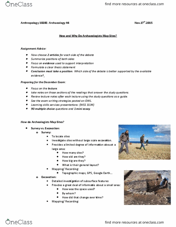
Provides a limited degree of information about a large area: Can use gps like equipment, allows you to upload maps for the region you are working in. As you move across the landscape, you can record the exact location that an artifact is found in. It provides a great deal of important information about a small area. Can use a differential gps, can calculate to the nearest cm. Deciding where to go looking for sites based on what you already know. Red circle- archeological sites tend to be where there is a water site. If your taking targeted approach, take 100m buffer area around target area. Results cannot be used to extrapolate to whole study region. Divide survey area up into equal sized portions. Then find a way of randomly selecting a sub unit to investigate. Discover new areas you would not have thought to look. Results can be extrapolated to whole study area.